This weekend actually looks kind of decent as the big chill is gone.
We return to near normal February temperatures as most of us reach highs well into the 30s which is approaching near seasonable averages.
While high pressure takes hold over our region, there are a couple of fast moving troughs with cold fronts from the Great Lakes that will slip through over the weekend.
While most of our are remains dry, the most likely spots for a few, passing snow showers would be east of Lake Ontario, and north particularly in the upslope areas of the Adirondacks.
Rest easy knowing snow should not be widespread and it will come in brief spurts and will not add up to much more than a couple of inches.
A better opportunity for milder temperatures and area wide mixed showers returns through the early to middle part of next week.
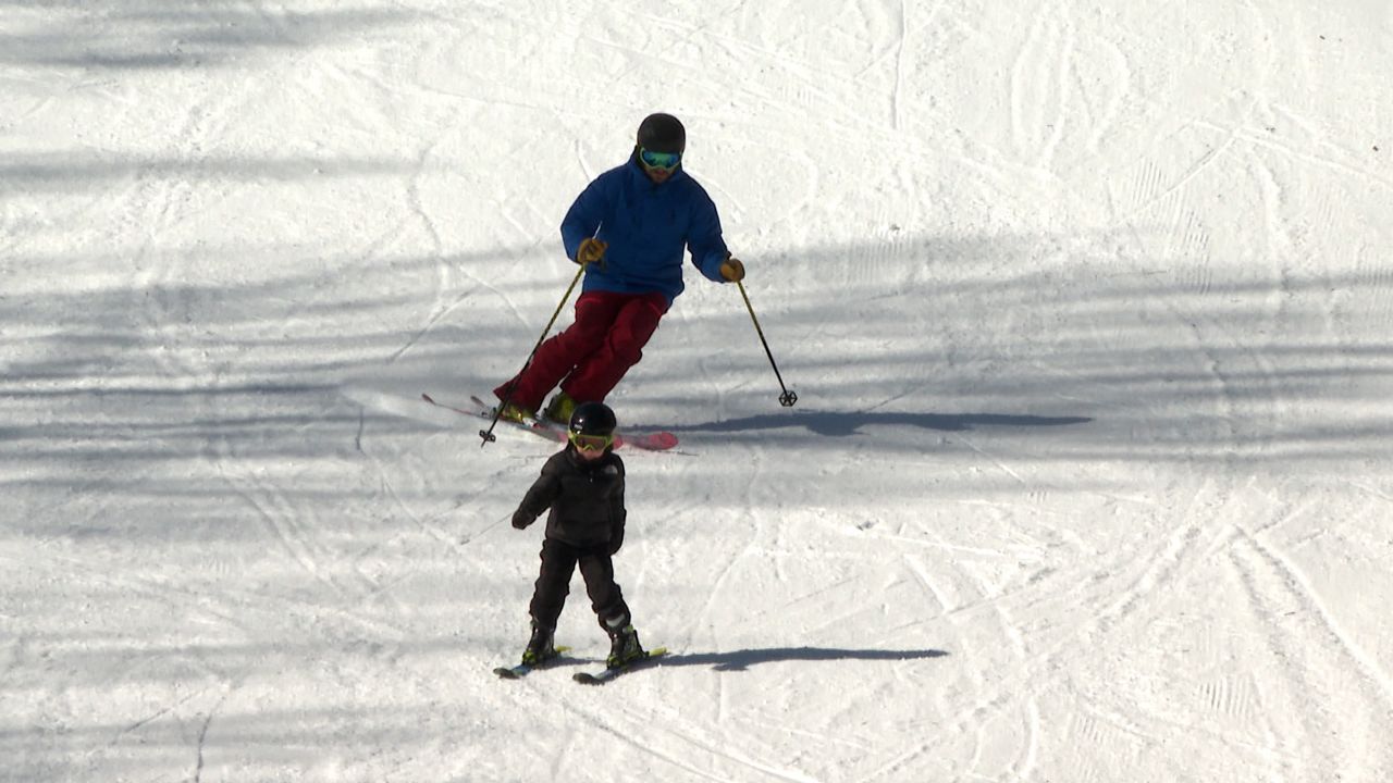
Weather will be good out on the slopes