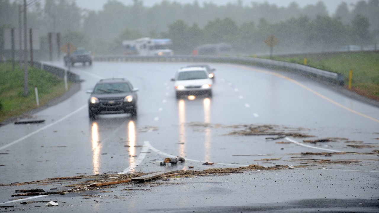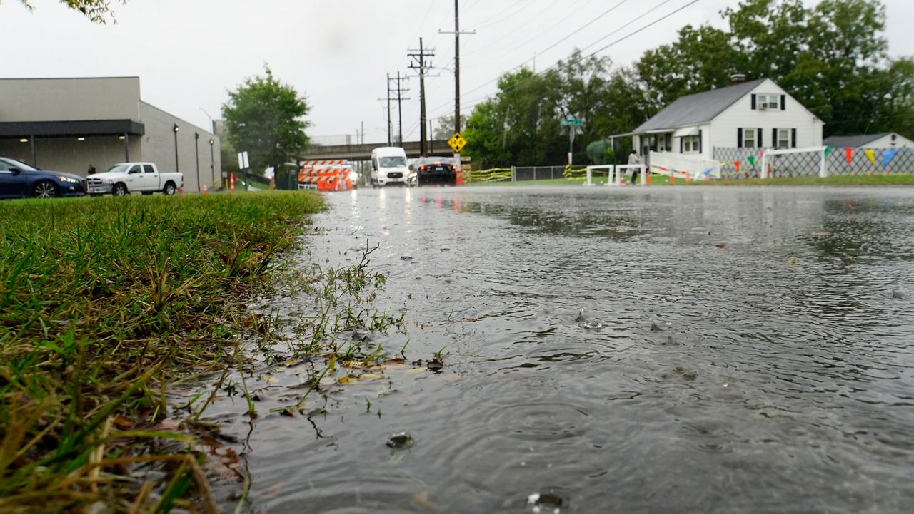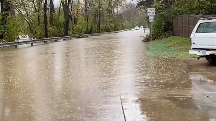
Get ready for lots of rain over the weekend and that could lead to significant flooding around the area.
With the already saturated soils, this system will probably cause flooding. There is a Flood Watch in place for both Saturday and Sunday.

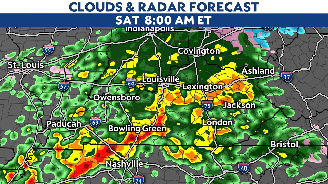
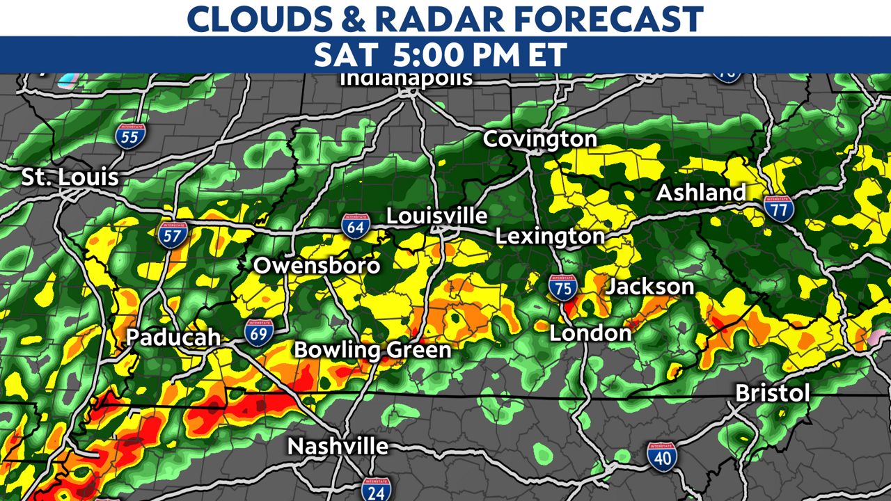
We won’t see much of a break in the rain during the day Saturday. It will continue in the afternoon and into the evening hours. Southern locations could even see a few stronger storms as the cold front pushes through late in the day. A few severe storms that could produce a spin up tornado will be possible in southern areas as the front crosses late tonight.
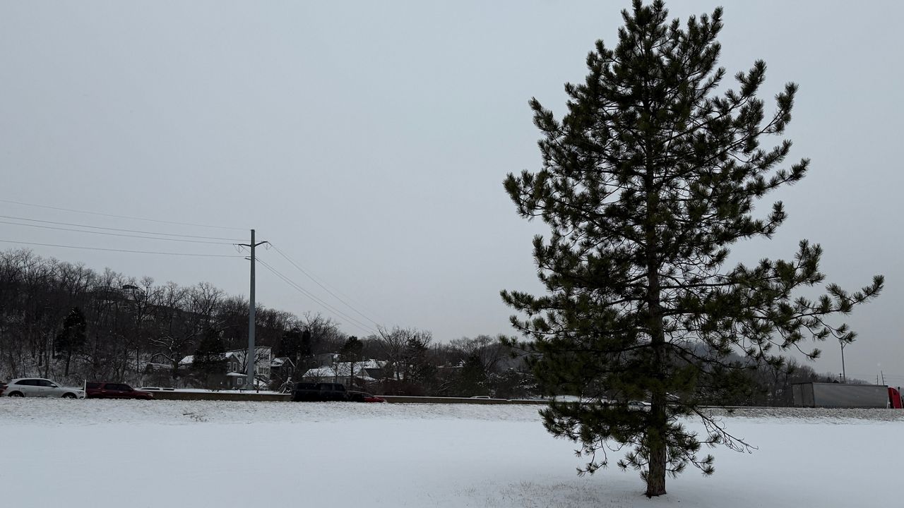
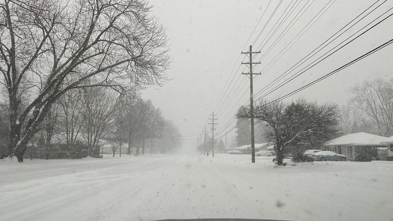
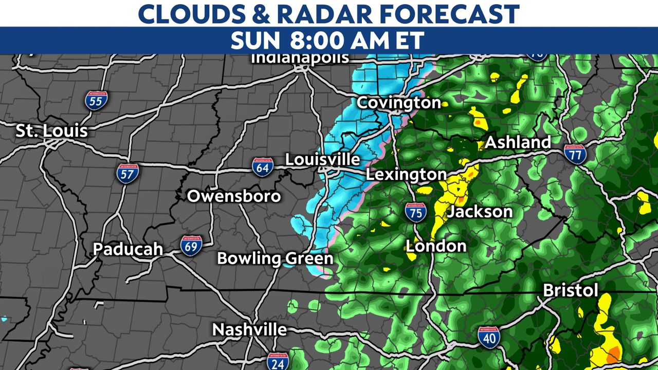
Behind the front, temperatures plummet. Snow showers and snow flurries will be possible on Sunday with up to a dusting of snow.
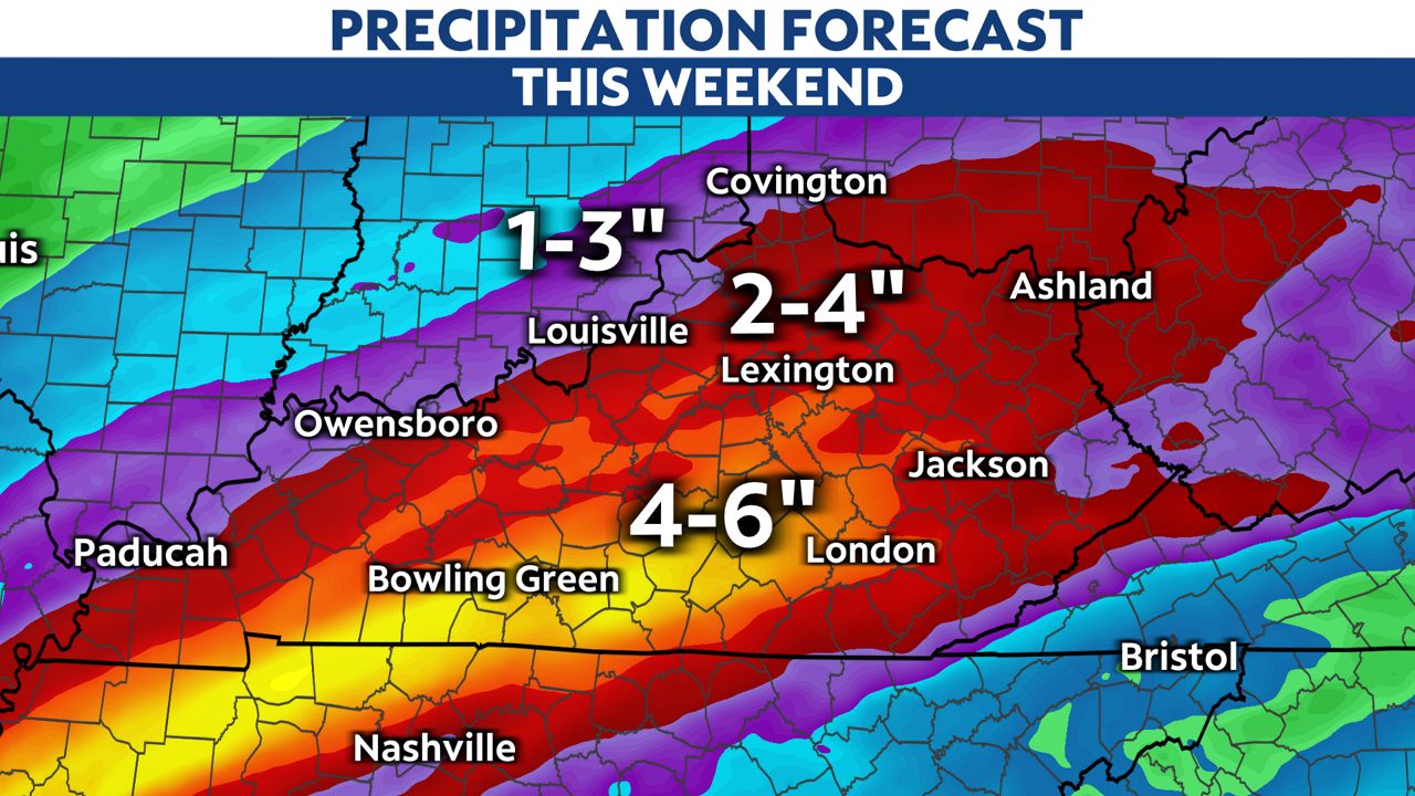
Look at these rainfall amounts that will be possible. There could be locations with close to 4 to 6 inches of rain. Lighter amounts just north.
River flooding could also continue next week, especially along the Ohio River.
Our team of meteorologists dives deep into the science of weather and breaks down timely weather data and information. To view more weather and climate stories, check out our weather blogs section.