
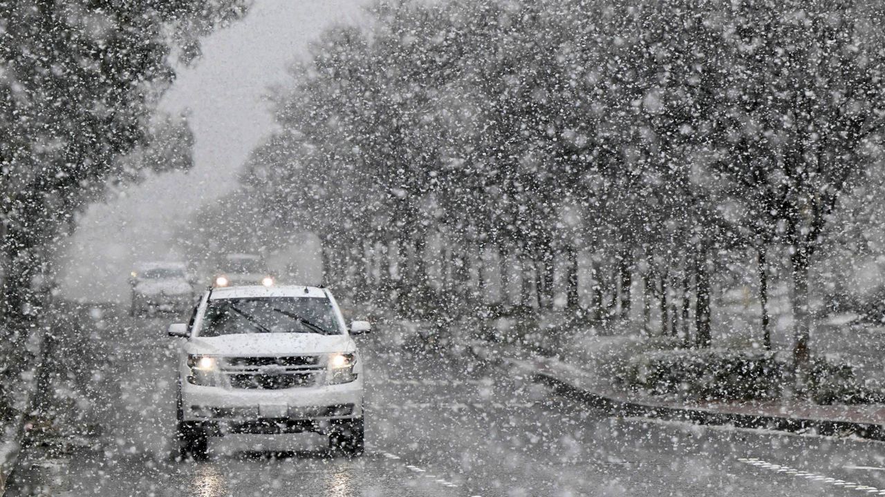
A winter storm will continue to bring heavy snow to central New York through today. Our Spectrum News 1 Weather Experts break down the potential impacts to each county.
Winter Storm Warning (in effect until 8 a.m. Wednesday)
Main impact: Through Tuesday evening
Total snowfall: 6 to 9 inches in the valleys, 9 to 16 inches in the higher elevations
Winds: Gusts up to 40 mph
Winter Storm Warning (in effect until 8 a.m. Wednesday)
Main impact: Through Tuesday evening
Total snowfall: 6 to 9 inches in the valleys, 9 to 16 inches in the higher elevations
Winds: Gusts up to 40 mph
Winter Storm Warning (in effect until 8 a.m. Wednesday)
Main impact: Through Tuesday evening
Total snowfall: 3 to 5 inches in the valley, and 5 to 9 inches in the higher elevations
Winds: Gusts up to 40 mph
Winter Storm Warning (in effect until 8 a.m. Wednesday)
Main impact: Through Tuesday evening
Total snowfall: 6 to 9 inches in the valleys, 9 to 16 inches in the higher elevations
Winds: Gusts up to 40 mph
Winter Storm Warning (in effect until 8 a.m. Wednesday)
Main impact: Through Tuesday evening
Total snowfall: 5 to 9 inches
Winds: Gusts up to 40 mph
Winter Weather Advisory (in effect until 8 a.m. Wednesday)
Main impact: Through Tuesday evening
Total snowfall: 2 to 4 inches for lower elevations, 4 to 8 inches over southeast portion of county
Winds: Gusts up to 35 mph
Winter Storm Warning (in effect until 8 a.m. Wednesday)
Main impact: Through Tuesday evening
Total snowfall: 6 to 9 inches in the valleys, 9 to 16 inches in the higher elevations
Winds: Gusts up to 40 mph
Winter Storm Warning (in effect until 8 a.m. Wednesday)
Main impact: Through Tuesday evening
Total snowfall: 6 to 9 inches in the valleys, 9 to 16 inches in the higher elevations
Winds: Gusts up to 40 mph
Winter Storm Warning (in effect until 8 a.m. Wednesday)
Main impact: Through Tuesday evening
Total snowfall: 5 to 8 inches in lower elevations, 9 to 16 inches in higher terrain south of Thruway
Winds: Gusts up to 40 mph
Winter Storm Warning (in effect until 8 a.m. Wednesday)
Main impact: Through Tuesday evening
Total snowfall: 8-16 inches, with locally higher amounts
Winds: Gusts from 35 to 45 mph
Winter Weather Advisory (in effect until 8 a.m. Wednesday)
Main impact: Through Tuesday evening
Total snowfall: 2 to 5 inches
Winds: Gusts up to 40 mph
Winter Weather Advisory (in effect until 8 a.m. Wednesday)
Main impact: Through Tuesday evening
Total snowfall: 2 to 5 inches
Winds: Gusts up to 40 mph
Winter Storm Warning (in effect until 8 a.m. Wednesday)
Main impact: Through Tuesday evening
Total snowfall: 6 to 12 inches, greatest on the Tug Hill Plateau
Winds: Gusts up to 35 mph
Winter Storm Warning (in effect until 8 a.m. Wednesday)
Main impact: Through Tuesday evening
Total snowfall: 6 to 9 inches in the valleys, 9 to 16 inches in the higher elevations
Winds: Gusts up to 40 mph
Winter Storm Warning (in effect until 8 a.m. Wednesday)
Main impact: Through Tuesday evening
Total snowfall: 6 to 9 inches in the valleys, 9 to 16 inches in the higher elevations
Winds: Gusts up to 40 mph
Winter Storm Warning (in effect until 8 a.m. Wednesday)
Main impact: Through Tuesday evening
Total snowfall: 6 to 9 inches in the valleys, 9 to 16 inches in the higher elevations
Winds: Gusts up to 40 mph
Our team of meteorologists dives deep into the science of weather and breaks down timely weather data and information. To view more weather and climate stories, check out our weather blogs section.