
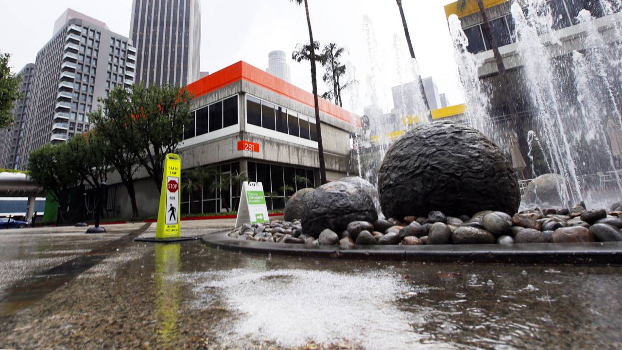
LOS ANGELES — The city of Los Angeles is currently experiencing drought conditions, but over the next 30 years, an increasing number of L.A. County properties are at risk of flooding.
Twenty percent of L.A. properties could flood within the next 30 years, with each at-risk property incurring an average annual loss of $10,444, according to a new assessment from the First Street Foundation.
The nonprofit research group found that 132,046 properties are already at risk of flooding in L.A. County — a number that will grow 1.3% in 15 years and 2.6% in 30 years, as global warming causes weather patterns to change and bring stronger storms.
While sea level rise is a major contributor to flooding on the East and Gulf Coasts, the majority of flooding in the L.A. area is driven by rainfall and flash-flood “events that occur in 1-in-100-year or 1-in-500-year storms, as opposed to some consistent precipitation events,” said Dr. Jeremy Porter, First Street’s head of research and development.
“Precipitation patterns themselves are not increasing over the next 30 years,” he added. “Instead, we’re seeing extreme rainfall events becoming more commonplace.”
That extreme rainfall is more likely to flood areas further away from the coast, most notably areas near small waterways and tributaries that then overflow.
“That’s where we see the bulk of the risk in L.A.,” said Porter, noting that Norwalk and Gardena are at especially high risk.
Flooding is the most expensive natural disaster in the U.S., costing over $1 trillion in inflation-adjusted dollars since 1980, according to First Street researchers. Finding property-specific data about flood risk, however, has been a challenge for individual homeowners.
While banks, institutional investors, and insurance companies are often able to buy such data, the Federal Emergency Management Agency has been the primary publicly available resource for flooding probability, tasked with creating maps that divide geographic areas into high-, moderate-, or low-risk zones.
Those maps cover approximately 60% of the country and have long represented risk for the moment in time the map was created, without any consideration of climate change. While that system will change later this year with the first major update to FEMA’s risk modeling system in 50 years, First Street was founded five years ago to provide free access to accurate flood information in recognition that flooding will increase in frequency and severity as the atmosphere warms, affecting more and more Americans.
The goal of the First Street Foundation is to quantify and communicate America’s flood risk so that individuals and communities can prepare for and mitigate their risk. Using its Flood Factor tool, anyone can access a property’s probability of flooding due to rain, river areas, tidal events, and storm surges. The tool also considers the risk of one or more flood types occurring at the same time in coastal areas.
What differentiates Flood Factor from FEMA data is that the information is specific to an individual property, including its elevation. It also looks at future, as well as current, risk and includes damage-cost estimates should flooding occur. Flood Factor information is available for 142 million homes across the U.S., including many areas FEMA has not mapped, the group says.
Billed as the first flood risk model of its kind, the tool was created by 80 of the world’s top flood risk modelers, including scientists at the University of California at Berkeley, Massachusetts Institute of Technology, and 18 other U.S. academic institutions.