
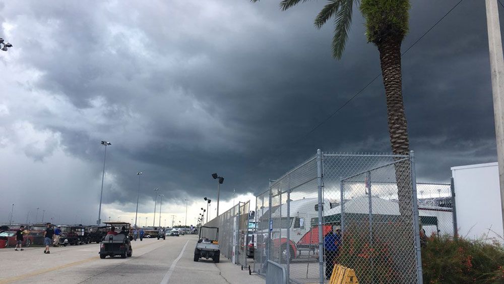
ORLANDO, Fla. -- We only had a few peeks of sunshine to start out our Friday, but the storms held off until around lunchtime.
- Temps fall into low 70’s
- Slight rain chances for Sunday
The east coast sea breeze sparked some strong activity as it moved slowly west. Some storms produced strong wind and hail.
Mostly cloudy skies will stick around through the overnight hours. Temperatures will fall into the mid to low 70s as we head toward daybreak.
We’ll start out the weekend with a decent chance for showers and storms sticking around, mainly Saturday afternoon.
Some of the storms could be strong with frequent lightning and gusty wind. High temperatures will reach to around 90 degrees.
- View LIVE Interactive StormTracker 13 Radar Map
- View our LIVE Sky 13 Weather Cameras
- Sign up for Severe Weather Alerts
Rain chances back off slightly Sunday, but there is still a possibility for the afternoon.
In the tropics, Beryl continues to move west toward the Lesser Antilles. Beryl may maintain its intensity as a hurricane through the weekend, but as it approaches the islands, unfavorable conditions may help to weaken it.
Puerto Rico will need to monitor this storm early next work week for potential impacts. We now also have Tropical Depression Three well east of the North Carolina coast.
This system may intensify into a hurricane over the next few days as it meanders off the coast. If it does, it will be given the name Chris.
At this point, a landfall is not expected and no impacts will be felt in Central Florida.

We want your pictures!
Show us what the weather looks like in your neighborhood. Your photo could end up on Spectrum News 13.
- Get the Spectrum News 13 app for iOS or Android
- Tap "Submit Content" at the bottom of the app menu
- Remember to include your name and location