
ORLANDO, Florida — West-southwesterly flow will take shape today as Michael aims northeast toward the Carolinas and western Atlantic.
- Highs for Wednesday at 89 degrees
- Michael nearing landfall
- CURRENT CONDITIONS: Temperatures, heat indexes, trends
- TRACKING THE TROPICS: Formation potentials, Atlantic and Gulf satellite loops, typical storm tracks per month
- SEE BELOW: See our 7-day forecast ▼
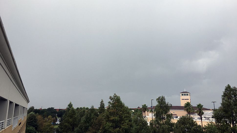
The airmass being drawn into Central Florida will be a bit drier, but temperatures will not cool much. Highs today will run in the upper 80s to near 90 with a few leftover showers.
Clouds will decrease by tonight, leading to sunny sky to end the work week Friday. Highs on Friday will stay in the similar range of upper 80s to near 90 degrees as the weak front passes to our south. Expect readings to remain in this range through the weekend as plenty of sun sticks around Saturday and Sunday.
Little to no rain will be found again until Sunday when a few minor showers return. Low rain chances appear in the forecast early next week.
- View LIVE Interactive StormTracker 13 Radar Map
- View our LIVE Sky 13 Weather Cameras
- Sign up for Severe Weather Alerts
Those in small craft are urged to use caution today due to seas around 3 to 5 feet offshore and choppy conditions on the Intracoastal. The surf zone will feature fair to good waves with an offshore wind, but the rip current risk remains elevated.
Tropical Update
In the tropics, we continue to monitor the track of Hurricane Tropical Storm Michael.
We are keeping our eyes on Hurricane Leslie and Tropical Storm Nadine, although they pose no threat to the United States at this time.

We want your pictures!
Show us what the weather looks like in your neighborhood. Your photo could end up on Spectrum News 13.
- Get the Spectrum News 13 app for iOS or Android
- Tap "Submit Content" at the bottom of the app menu
- Remember to include your name and location