
ORLANDO, Fla. — The threat for a shower or storm is possible early this evening, with temps falling into the 80's. Dry conditions return overnight, with mostly cloudy skies. Expect warm lows in the upper 60's and low 70's.
- 10 to 20 mph winds today
- Scattered showers possible
- CURRENT CONDITIONS: Temperatures, heat indexes, trends
- SEE BELOW: See our 7-day forecast ▼
Rain chances remain in place for Monday. A cold front will stall in North Florida, producing showers and storms.
A few showers and storms will be possible north of Metro Orlando, with southern areas likely staying dry. Highs for Monday will again soar, with record to near-record highs in the upper 80's and low 90's.
The threat for storms increase a touch on Tuesday. Even more moisture builds into the area, resulting in a better chance for scattered showers and storms.
Once again, the best chance for activity will be north of Metro Orlando. Highs for Tuesday will again push into the upper 80's and low 90's.
- View LIVE Interactive StormTracker 13 Radar Map
- View our LIVE Sky 13 Weather Cameras
- Sign up for Severe Weather Alerts
Scattered showers and storms will also be possible on Wednesday. Expect partly sunny skies throughout the day, with temps holding in the low 90's.
Our best chance for rain and storms will be on Thursday. The cold front finally moves through the area, sparking greater coverage of showers and storms. It will be windy and cooler as the front moves in, with highs in the low 80's.
The front will likely stall in South Florida, with more rain chances for Friday. Scattered activity will again be possible, with highs Friday in the upper 80's.
The unsettled weather pattern continues into next weekend, with scattered showers and storms possible both Saturday and Sunday. Temps will be in the 80's.
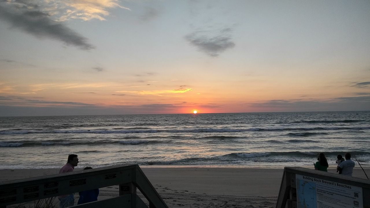
Surfing and Boating Forecast
If you’re a commercial fisherman or on boat patrol, boating conditions will be hazardous today with the high winds. A small craft advisory is in effect. Seas will be rough and running at 4 to 6 feet. The wind will be out of the southeast at 15 to 25 knots.
