
ST. PETERSBURG, Fla. — It’s about to get pretty chilly around here as our pattern begins to flip and the coldest air of the season may be just days away. It will probably feel even colder considering how warm it has been.
In fact, the first half of January in Tampa has averaged eight degrees warmer than normal. Much of last week was spent with temperatures in the 80s—the warmest day occurred on January 11 with a high of 85 degrees.
Just to give you a reference point, Tampa’s average high is only 70 degrees this time of year.


The cold has been bottled well to the north over the last couple of weeks. Temperatures as low as 60 degrees below zero have been pooled over Alaska.
Now that Arctic air mass is on the move to the south. As of Wednesday morning, the real Arctic air was located over the Northwestern Territories of Canada and it will continue to overspread the central and eastern United States.

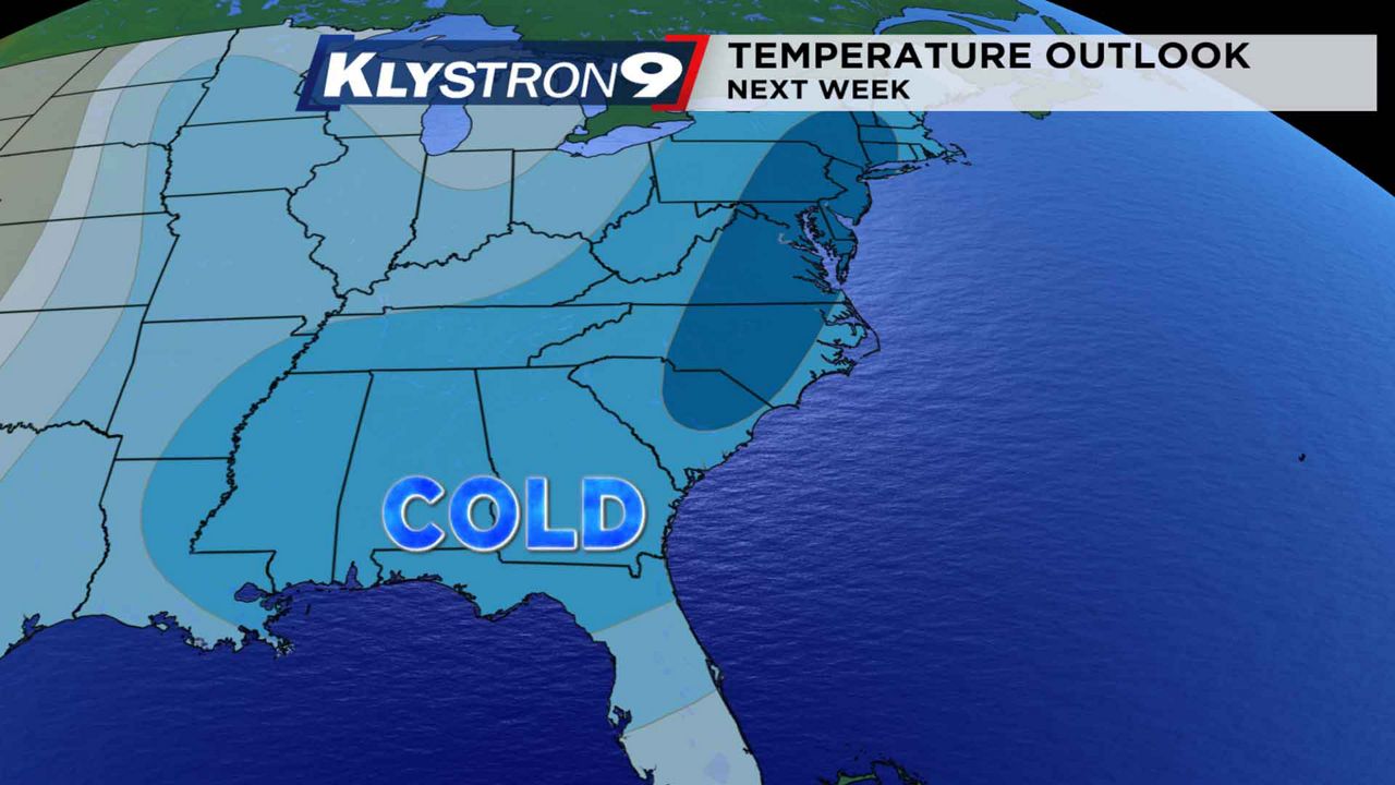
The jet stream will be diving far to the south over the weekend and into next week. This will place much of the central and eastern United States in an ice box.

So what does this mean for Tampa? It means "Florida cold," as temperatures could fall into the 30s across parts of the Nature Coast where frost is likely. This has the potential to be the coldest air of the season so far.

Models are coming into good agreement on the cool down but questions remain regarding just how cold it will get around here.
At this time, a strong cold front looks to move through by early Monday, where temperatures peak in the 60s during the afternoon.
The core of the cold will likely not arrive until Tuesday and Wednesday where temperatures in Tampa peak in the 50s with lows around 40 degrees for Tampa Bay.


So the bottom line is there will be a cool down and it has the potential to be the coldest air yet this season. Have those jackets, mittens and gloves on standby.
Some of you may chuckle if reading this blog from a colder climate but highs in the 50s in Tampa is "Florida cold."