
Mountain counties and adjacent foothill counties (W. Burke & W. Caldwell Co.'s) start under a Winter Storm warning Tuesday evening at 6 p.m. The warning will be active through 4 p.m. Wednesday afternoon.
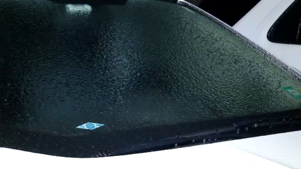
While some snow accumulations are possible, it is the freezing rain, and possible ice accumulations, on power line and tree limbs, that are most concern for this event. Ice of 1/4 inch (plus) appears possible. If the 1/4 inch of ice verifies, then some power outage issues will likely develop. The threat for icing will end with warmer air aloft, by midday Wednesday.
For the Piedmont, largely a cold rain will be the norm. However, a brief wintry mix, at times, may be possible early Wednesday (no accumulations), north of Charlotte.
A series of systems will bring unsettled weather our way for the rest of the week and the weekend. Temperatures will be up and down over the next week.