
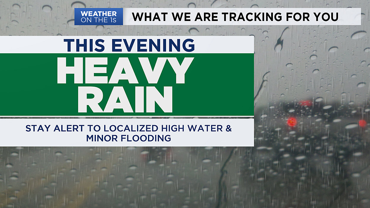
A line of heavy rain and some thunder will roll through Southern Wisconsin tonight. Pockets of heavy rain may lead to localized flooding concerns. If you live near an area that tends to see high water, this is a night where that may happen. Stay alert.
Meanwhile, far Northwestern Wisconsin (Superior/Ashland) will likely see snow tonight into Thursday!
As a warm front moves into the Southern part of the state Thursday, temperatures may climb to the middle 60s briefly, before falling back down in the afternoon to evening. Scattered to spotty showers are still possible Thursday as the system rolls through.
NW Wisconsin may walk away with around 3"-6" of wet snowfall!
Look for some sunshine to return on Friday. Then things turn a little warmer over the weekend. We have a small chance for a few showers on Mother's Day, otherwise the weekend looks dry.
Next week brings warmer air to start, along with the chance for thunderstorms.
GREATER MILWAUKEE AREA FORECAST:
Tonight: Heavy rain & some thunder arrive tonight. Rain continues off & on overnight. Steady to rising temps. | Low: 52 (midnight)| Wind: S 5-15mph
Thursday: Off & on rain at times, otherwise cloudy and breezy. Temps fall by late afternoon. | High: 64 (1pm) | Wind: W 10-15mph
Friday: Partly cloudy and cooler. | Low: 40 | High: 53 | Wind: Variable 5-15mph
Saturday: Partly cloudy and warmer. | Low: 41 | High: 61 | Wind: S 5-15mph
Mother's Day: Partly cloudy with a small chance of a shower or two. Mild. | Low: 43 | High: 60
Monday: Mostly sunny and warmer. | Low: 43 | High: 64
Tuesday: Partly cloudy with a chance of scattered thunderstorms. | Low: 48 | High: 70
Wednesday: Mostly sunny and not as warm. | Low: 47 | High: 60
Follow the "Weather On the 1s" Team on social media for the latest weather updates:
Chief Meteorologist JD Rudd: Facebook | Twitter
Meteorologist Kristin Ketchell: Facebook | Twitter | Instagram
Meteorologist Brooke Brighton: Facebook | Twitter | Instagram