
Central Florida -- The overnight is expected to be wet, but Monday morning is supposed to be greeted by much-missed sunshine. But don't expect a totally sun-filled day
- Monday highs at 84 degrees
- Rain to continue through week
- SEE BELOW: See our 7-day forecast ▼
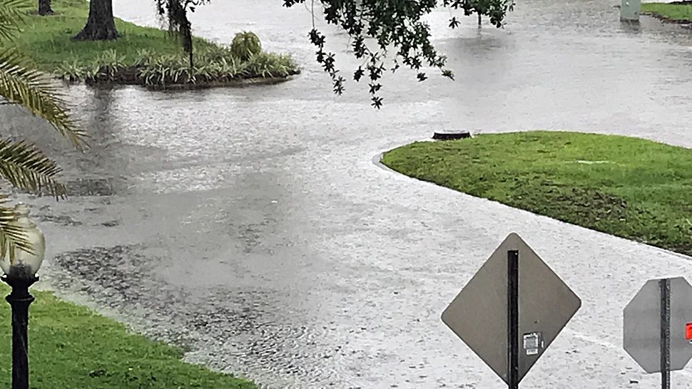
It has been a very wet Sunday across Central Florida, with rain showers continuing during the evening hours.
The rain chance will remain in place overnight, with warm overnight lows in the low 70s.
Slightly lower rain chances are expected for Monday. We will see some morning sunshine, with scattered showers and storms developing. Highs for Monday will be in the low 80s.
Some drier air finally moves in midweek, reducing rain chances further. Some scattered showers and storms will be possible both Tuesday and Wednesday, but some areas may escape the rain. Highs both days will be in the mid to upper 80s.
- RELATED: StormTracker 13 INTERACTIVE radar
- WEATHER ON THE GO: Download the Spectrum News 13 app and get StormTracker 13 & Safety Net alerts wherever you are
- GET WEATHER ALERTS: Sign up to receive weather text alerts from Spectrum News 13
The morning sunshine/afternoon-evening rain routine continues for Thursday and Friday. Again, a washout is not expected. Highs will hold in the mid 80s both Thursday and Friday.
Attention will then turn to the Gulf and Caribbean as a developing system will try to push northward. There is tremendous uncertainty about this complex, but it will likely increase rain chances heading into the Memorial Day weekend. Highs will hold in the low to mid 80s.
A small-craft caution will continue for Monday, with seas 4 to 6 feet and strong southeasterly winds. Surfers will again find poor conditions, with an east-southeast trade swell.
View LIVE Interactive StormTracker 13 Radar Map

We want your pictures!
Show us what the weather looks like in your neighborhood. Your photo could end up on Spectrum News 13.
- Get the Spectrum News 13 app for iOS or Android
- Tap "Submit Content" at the bottom of the app menu
- Remember to include your name and location