
ORLANDO, Fla. -- Saturday featured more storms across the area, but quiet conditions will return for the overnight.
- Stormy activity to decrease
- Tropics remain quiet
- SEE BELOW: See our 7-day forecast ▼
Expect variable clouds and warm lows in the mid-70s.
We'll close the weekend with more rain and storms. Expect partly cloudy skies in the morning, with showers and storms developing in the afternoon hours. Highs for Sunday will be in the low 90s.
- View LIVE Interactive StormTracker 13 Radar Map
- View our LIVE Sky 13 Weather Cameras
- Sign up for Severe Weather Alerts
No major changes are expected for next week. Deep tropical moisture remains in place across the area, leading to elevated rain chances to start the week. Highs Monday and Tuesday will be in the low 90s.
Some slightly drier air will try and push into the area by mid-week. This will reduce the coverage of the storms, but many locations will still see activity. Temps for Wednesday and Thursday will be in the low 90s.
Even more dry air may arrive to end next week, with scattered showers and storms will still develop. Highs to close the week will be in the low 90s.
Tropical Update
All is quiet in the tropical Atlantic as we wind down the month of July.
No major activity is expected in the Gulf, Caribbean and the open waters of the Atlantic in the next 5 days.

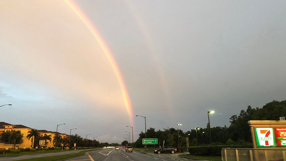
We want your pictures!
Show us what the weather looks like in your neighborhood. Your photo could end up on Spectrum News 13.
- Get the Spectrum News 13 app for iOS or Android
- Tap "Submit Content" at the bottom of the app menu
- Remember to include your name and location