

We're wrapping up the weekend with more fall like conditions thanks to a strong cold front that cleared this morning with a few spotty, light showers. We're drier this afternoon and skies will gradually clear. Plan and dress for daytime temperatures in the 60s and 70s and gusty north winds. You might need an extra layer if you're heading outside today or tonight.
Temps now:

Behind the front, it's a north wind from 15-25, gusting over 30 mph at times. Winds + gusts now:

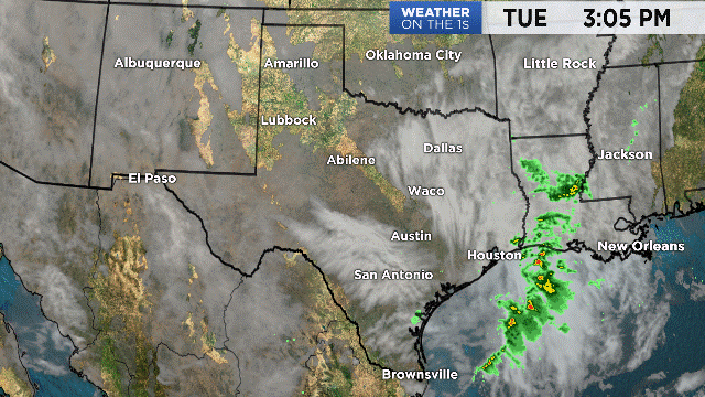
The front stalls over South Texas today, keeping clouds and scattered showers in place, but most of the state will find clearing skies this afternoon. Gusty north winds may impact travel.
Temperatures will fall quickly after sunset into the 60s, eventually dropping into the upper 40s to low 50s by tomorrow morning. Keep in mind winds will still be breezy overnight, so it will feel colder than it actually is. The Hill Country may feel more like low 40s around sunrise. Monday afternoon looks cool, breezy and comfy with highs in the 70s. Winds finally relax late Monday, so Tuesday morning looks even colder with most in the 40s. We're back in the low 80s by Wednesday, and tracking our next round of showers by the weekend.
Plan here with your 7 day forecast.
Enjoy the cooler weather & the rest of your weekend!
-Meteorologist Emily Borchard